Transform Community Engagement with Powerful, Interactive Mapping
PublicCoordinate is a community engagement platform designed to maximize project transparency for stakeholders, visualize every voice, and guide projects from vision to completion.
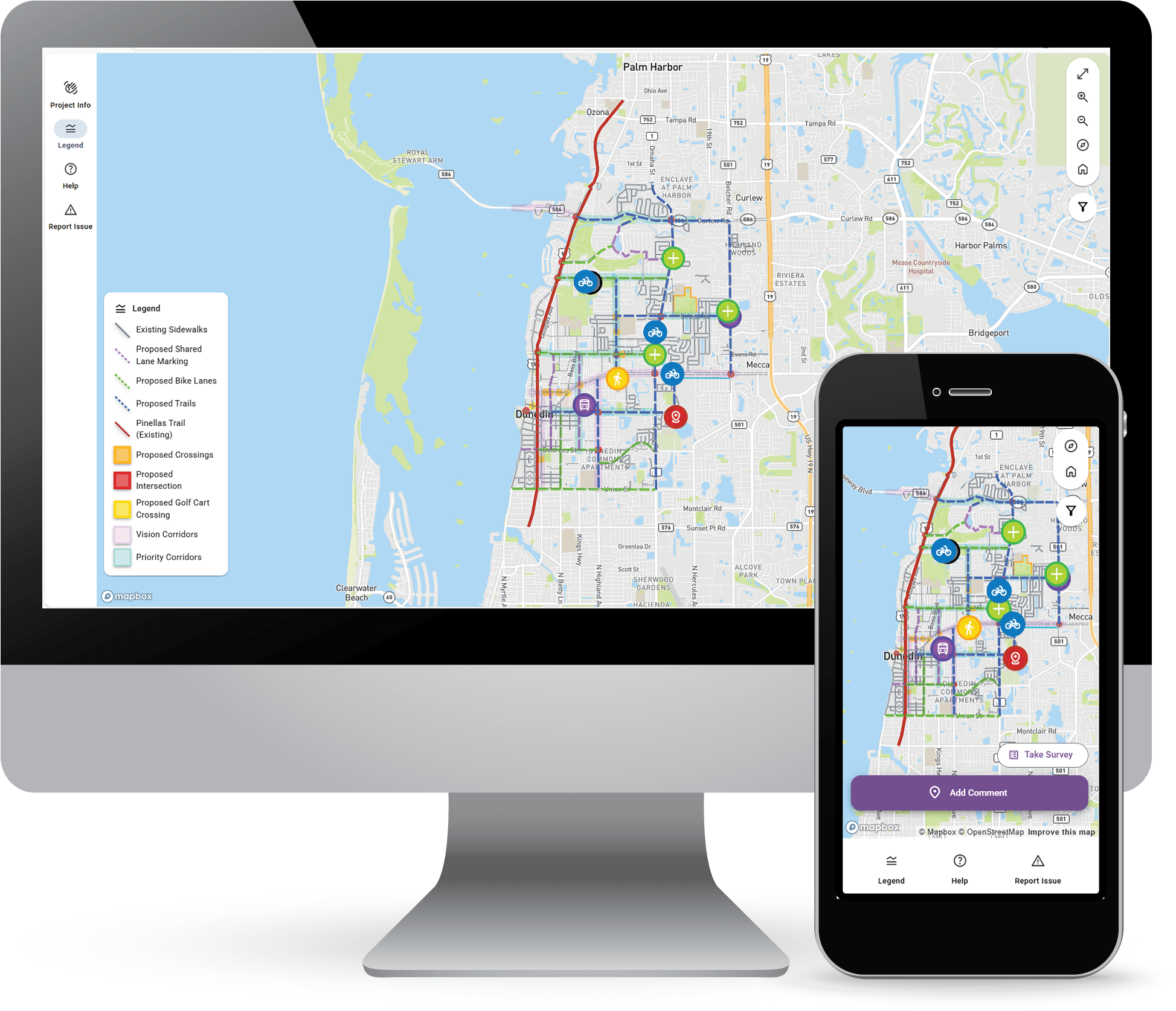




Public Engagement Made Easy
Empower your projects with engaging interactive maps, real-time stakeholder feedback, and streamlined decision making—all from one intuitive platform.
Tailor your engagement strategy with interactive maps that bring project plans to life. Display multiple project alternatives, concept visuals, and key information while collecting feedback directly from the public and project stakeholders.
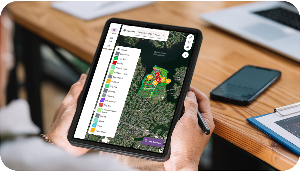
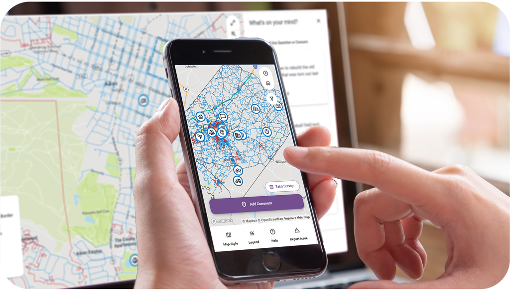
Built for accessibility and inclusivity, PublicCoordinate ensures that every voice can be heard. From automatic language translation to cross-device compatibility, our platform removes barriers and encourages community participation.
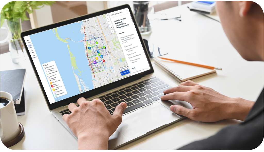
Track engagement in real time with intuitive admin dashboards. Monitor project phase progress and export reports to share with stakeholders or decision-makers.

Customize map and webpage elements—from logos and welcome text to comment categories and survey integrations. Whether you are managing one project or fifty, PublicCoordinate adapts to your needs.
Who Can Use PublicCoordinate
Organizations with stakeholder groups
Public Agencies, Planners, and Developers seeking stakeholder engagement
Consulting Firms
Consultants offering public engagement services to client organizations
Empowering Transit Reform Through Interactive Mapping
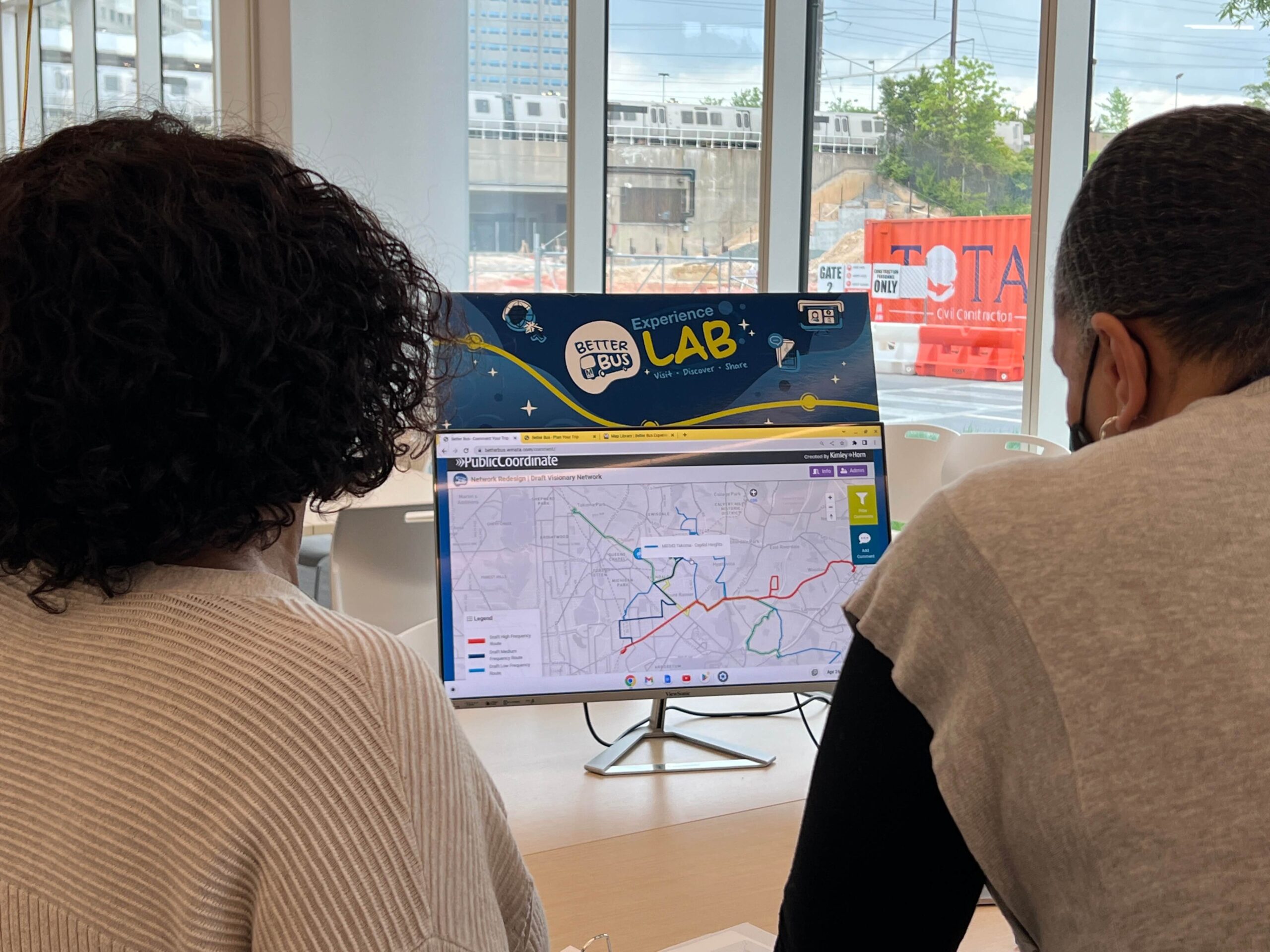
How Metro captured 8,000+ route comments in real time using PublicCoordinate
When Metro set out to reimagine Washington, D.C.’s bus network, community insight wasn’t just part of the process—it was the catalyst. With PublicCoordinate’s intuitive mapping tool, residents could comment directly on routes, bus stops, or lanes. Over 8,000 geotagged suggestions later, planners had the clarity they needed to build a network that truly reflects community needs.
What Our Customers Have to Say
Get In Touch
Want to learn more about PublicCoordinate, schedule a demo, or ask a question? Fill out the form below and a PublicCoordinate representative will be in touch shortly.


©Copyright 2021-2025 | KHTS, Inc. All Rights Reserved.

